THE STORY BEHIND THE VIDEO
Show what the platform can do for the whole team.
CHCNAV
A multi-payload aircraft becomes a story about different jobs, from LiDAR collection and processing to a complete photogrammetry workflow.
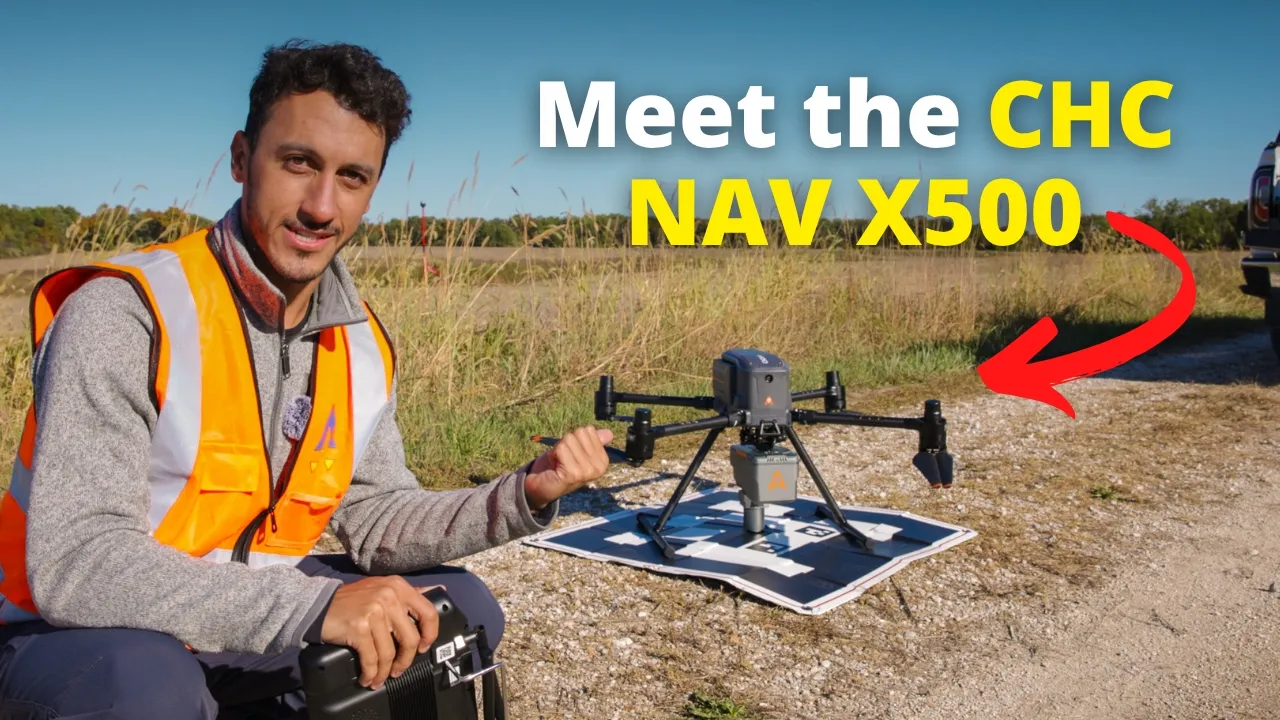
One Drone, Multiple Payloads: Meet the CHCNAV X500
8.5K
YouTube views
Views checked 14 September 2026. Featured companies and tools describe the published video.
01 / THE BUYER’S QUESTION
Can one aircraft platform support more of the work you need to do?
This CHC Navigation-sponsored video explores the X500 through practical workflows. The narrative gives each part of the payload ecosystem a job, connecting the aircraft to mapping, inspection, and LiDAR applications. It creates room to evaluate the platform as a working system instead of treating versatility as a standalone claim.
02 / INSIDE THE STORY
From curiosity to understanding.
01:11–13:31 / Explain the platform through its possible jobs.
An X500 overview is followed by a dedicated payload segment. This establishes the equipment choices before the demonstrations begin. The audience can understand which part of the system serves which kind of task and why a multi-payload platform might be relevant.
13:31–27:36 / Follow a LiDAR workflow into the software.
Dylan moves into data collection with the AA15L LiDAR payload, then walks through processing in CoPre. Keeping collection and processing together helps potential users understand the work around the sensor, including the software stage between a flight and useful data.
27:36–41:24 / Demonstrate a second workflow and review the choice.
The C504 camera introduces the photogrammetry workflow, followed by mapping-data review and a closing discussion of whether the X500 is worth considering. Two distinct workflows give the platform’s versatility a visible structure and provide context for the final evaluation.
03 / WHAT THE VIEWER TAKES AWAY
Compare a payload ecosystem through the outputs it produces.
Viewers gain an overview of how the aircraft, sensors, and processing tools relate across LiDAR and photogrammetry. They see the platform in more than one role and can use those examples to frame questions about the combination of work their own team needs to support.
04 / THE PATH TO ACTION
Let the audience inspect both kinds of output.
The published description links to the X500 platform and separately offers mapping and LiDAR datasets to view and download. The viewer can investigate the system or examine the output most relevant to their work. Those resources extend the product evaluation beyond watching the demonstration.
This describes the CTA used in the published video. Click-through, lead, and sales results are not reported for this individual story.
WHY THIS MATTERS FOR YOUR BRAND
A platform with several capabilities needs a story that gives each one a purpose. Pairing two complete workflows with accessible datasets helps a buyer investigate the system against real tasks, while leaving a useful reference for colleagues involved in the decision.
What could your product help someone do?
Let’s build a story around that answer. We’ll shape the narrative, produce it in the field, and publish it to an audience that wants to understand your technology.
A free introductory call. A tailored collaboration outline.