THE STORY BEHIND THE VIDEO
Put the product inside a real project.
ROCK Robotic · DJI · Emlid · UgCS
A 750-acre LiDAR assignment makes the hardware, software, and support tangible. Viewers follow the work from planning to finished data.
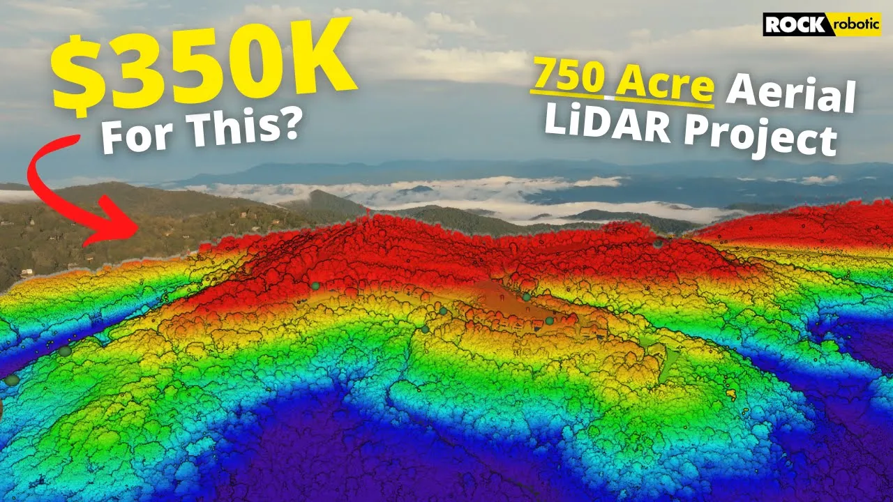
What Does A $350K LiDAR Project REALLY Look Like?
286K
YouTube views
Views checked 14 September 2026. Featured companies and tools describe the published video.
01 / THE BUYER’S QUESTION
How do you turn a demanding survey brief into a deliverable?
The story opens with a real assignment: capture 750 acres and deliver aerial survey data on a compressed schedule. That creates a reason to understand the equipment. ROCK Robotic’s sponsored feature follows Dylan’s workflow with the R2A sensor and ROCK Cloud. The $350K in the title refers to the project discussed, not revenue attributed to the video.
02 / INSIDE THE STORY
From curiosity to understanding.
00:48–06:12 / Establish the job before introducing the tools.
Dylan explains why the project needs LiDAR, introduces the hardware and software, and shows the ground-control stage. ROCK Robotic appears within this working context: the viewer first understands the assignment, then sees where the sensor and support fit. DJI, Emlid, and UgCS are identified as supporting tools in the published equipment list.
06:12–11:44 / Make the field operation understandable.
The sequence moves through planning with Google, mission automation in UgCS, and data capture in the field. It gives viewers a practical bridge between a large acreage figure and the decisions involved in actually collecting it. The equipment has a visible role in getting the work done.
11:44–17:42 / Follow the data to the finish.
Processing, analysis, and a review of the processed data complete the story. The camera does not stop at the flight: it follows the work into ROCK’s software workflow and the output the client needs. The production connects an impressive field operation to a useful deliverable.
03 / WHAT THE VIEWER TAKES AWAY
See the complete system behind the sensor.
Viewers gain an overview of how planning, control, automated collection, and processing connect on a substantial LiDAR assignment. They can evaluate the product as part of a service workflow, with the practical context needed to ask better questions about their own projects.
04 / THE PATH TO ACTION
Make it easy to investigate the system behind the result.
The published description thanks ROCK Robotic for sponsoring the video and directs viewers to the company and the R2A sensor. It also lists the supporting equipment. Someone interested in reproducing the workflow has a clear route from the demonstrated project to the tools involved, with education offered as a separate next step.
This describes the CTA used in the published video. Click-through, lead, and sales results are not reported for this individual story.
WHY THIS MATTERS FOR YOUR BRAND
For a technical brand, a real assignment supplies the stakes that a product overview often lacks. Buyers see why the tool was chosen, how it fits into the work, and what happens after capture. The video remains a useful reference for prospects researching an entire LiDAR workflow.
What could your product help someone do?
Let’s build a story around that answer. We’ll shape the narrative, produce it in the field, and publish it to an audience that wants to understand your technology.
A free introductory call. A tailored collaboration outline.