THE STORY BEHIND THE VIDEO
Make automation visible, one mission at a time.
UgCS · DJI
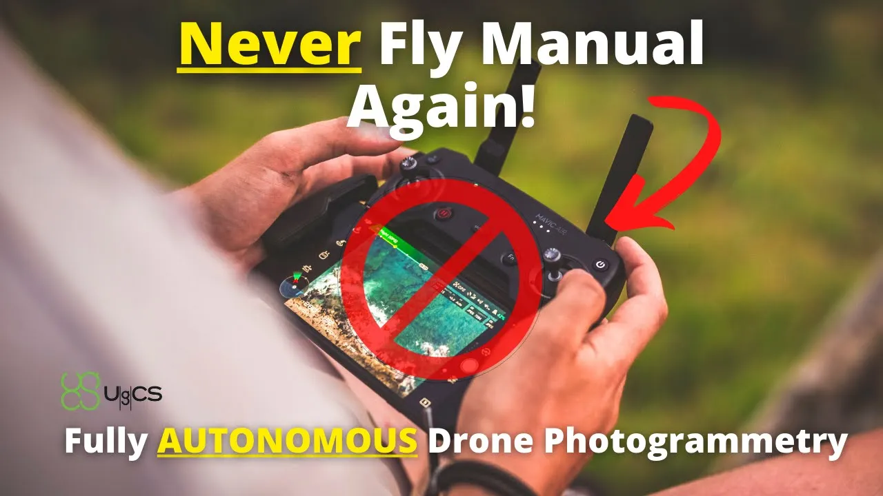
An automated facade-capture workflow gives mission-planning software a concrete job, a field demonstration, and a model viewers can explore.
The BEST Automated Drone Photogrammetry App! - UgCS
42.7K
YouTube views
Views checked 14 September 2026. Featured companies and tools describe the published video.
01 / THE BUYER’S QUESTION
How do you automate a capture that needs more than an overhead flight?
The UgCS story focuses on a specific task: plan an automated drone mission, capture a building facade, and inspect the resulting photogrammetry. That practical goal gives the software interface meaning. The audience follows how mission planning supports the final model instead of encountering a disconnected list of features.
02 / INSIDE THE STORY
From curiosity to understanding.
01:38–07:44 / Connect the interface to the site.
Dylan introduces UgCS and begins with pre-planning in Google Earth Pro before moving into the mission-planning guide. The sequence gives viewers the geographical and operational context for the controls they see on screen. Planning becomes a way to solve the capture problem.
07:44–13:32 / Move from a plan to an automated flight.
A dedicated vertical mission-planning section addresses the building facade. The walkthrough then covers syncing the mission from UgCS to DJI Pilot 2 and executing automated data capture. The viewer can trace the relationship between desktop planning and what the aircraft does on site.
13:32–18:13 / Let the resulting model complete the explanation.
The photogrammetry model review reveals what the capture produced. The final sequence introduces free access to example data, extending the demonstration beyond the screen. The published resources include the Fry’s Electronics building, a condo building, and a data download.
03 / WHAT THE VIEWER TAKES AWAY
Understand why the flight plan shapes the final model.
Viewers gain an overview of a facade-mapping workflow and the role of automated mission planning within it. Software configuration, field capture, and model review become connected steps. That context helps potential users evaluate the application against an actual mapping task.
04 / THE PATH TO ACTION
Turn a demonstration into something viewers can inspect.
The description leads with a link to UgCS and includes example models and downloadable data. The chapter at 16:53 specifically introduces free data access. This gives interested viewers two useful paths: investigate the software or examine the output before deciding how it might fit their own workflow.
This describes the CTA used in the published video. Click-through, lead, and sales results are not reported for this individual story.
WHY THIS MATTERS FOR YOUR BRAND
For software marketing, a finished model and accessible example data can make an abstract automation claim concrete. The video serves both the person discovering the tool and the practitioner evaluating a specific use case, with a clear progression from interface to result.
What could your product help someone do?
Let’s build a story around that answer. We’ll shape the narrative, produce it in the field, and publish it to an audience that wants to understand your technology.
A free introductory call. A tailored collaboration outline.